The following project presentation is also available in Powerpoint format.
(Images are clickable to enlarge slides)
 |
TRACK&TRADE The project is co-ordinated by the Research Academic Computer Technology Institute, Greece and comprises 3 RTD performers and 5 SMEs from Austria, Germany and Greece. |
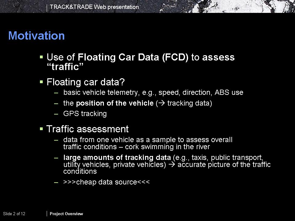 |
Motivation To create high-quality content for traffic management applications and mobility services, reliable and inexpensive real-time traffic data is essential. Relying on floating car data (FCD) instead of conventional traffic data collection systems would solve a number of well-known problems generating traffic content. FCD are data generated by tracking vehicles to sample the overall traffic conditions (”cork swimming in the river”). Having large amounts of vehicles collecting such data for a given spatial area such as a city (e.g., taxis, public transport, utility vehicles, private vehicles) will create an accurate picture of the traffic condition in time and space, i.e., for traffic assessment good FCD coverage is essential. Conventional systems (loop detectors) have a high infrastructure maintenance and communication expense. The FCD approach however exploits synergies with existing GPS-based fleet disposition systems and, thus, the data is inexpensive to obtain. |
 |
Motivation (cont’d) To assess the traffic based on FCD, travel times and thus dynamic weights for a road network graph are derived from FCD by relating its tracking data component to the road network using map-matching algorithms. Using the causality between historic and current traffic conditions travel time fluctuation in a road network may be captured. Whenever possible, current FCD and thus current travel times are used for an accurate traffic assessment. Given the typical lack of FCD, the current data component is complemented with historic travel times. The collection of historical travel time data provides a strong basis for the derivation of dynamic weights provided that one can establish the causality of travel time with respect to time (time of the day) and space (portion of the road network). An example would be that a specific path in the road network exhibits typical daily courses of speed. Depending on for example whether shops are closed or open in the afternoon this speed graph differs. |
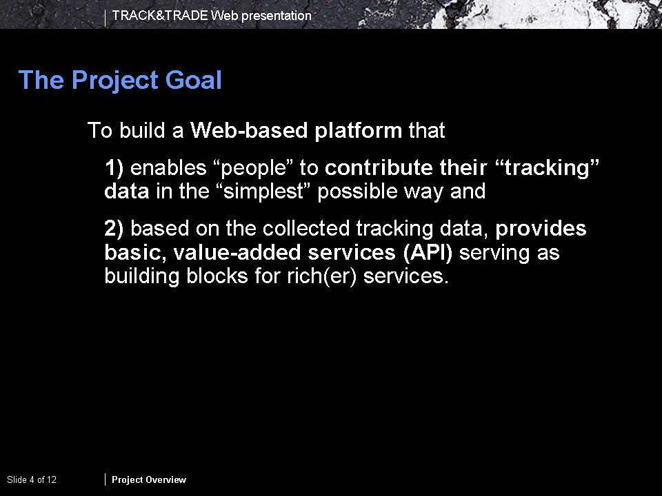 |
Project Objectives The TRACK&TRADE project aims at the creation of a Web-based FCD data mart that addresses the penetration problem, i.e., large amounts of FCD are needed to provide an accurate traffic assessment solely based on this data sources. In addition the project aims at providing simple value-added services (essential services) based on the collected travel times that can typically be used by SMEs in the respective application and products. This should overall minimize software development cost and time and provide for a faster time to market for specific SME products. |
 |
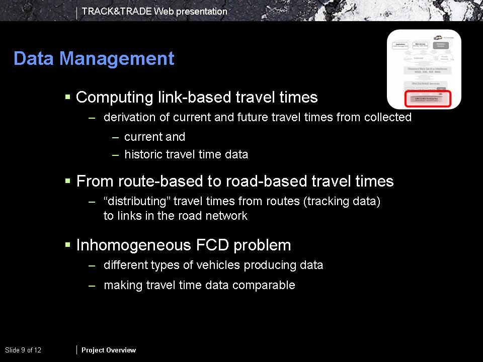
System Overview The data mart for the collection of FCD and the provision of value-added services will be realized as aWeb-based platform that handles the communication with FCD providers, derives travel times by relating the tracking data to a road network, aggregates them to derive characteristic travel times and provides Web-services and an API to provide access to the travel time base. Thus, in terms of system components, the data mart platform integrates technologies (i) for data collection, (ii) data pre-processing (map matching), (iii) data management (DTTM - FCD aggregation) and (iv) service provision. |
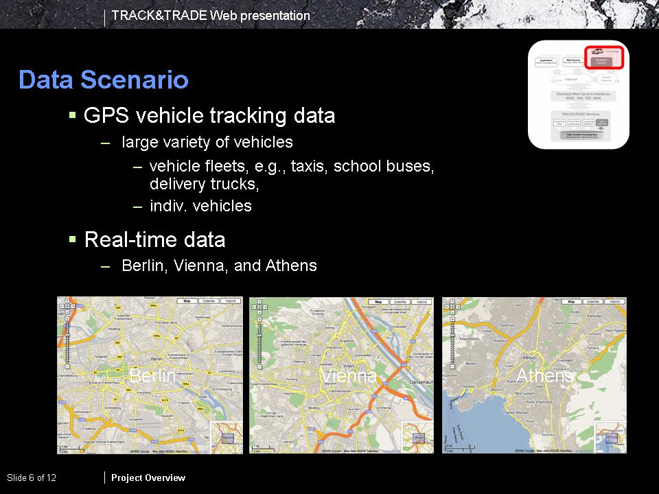 |
Data Scope TRACK&TRADE will use
|
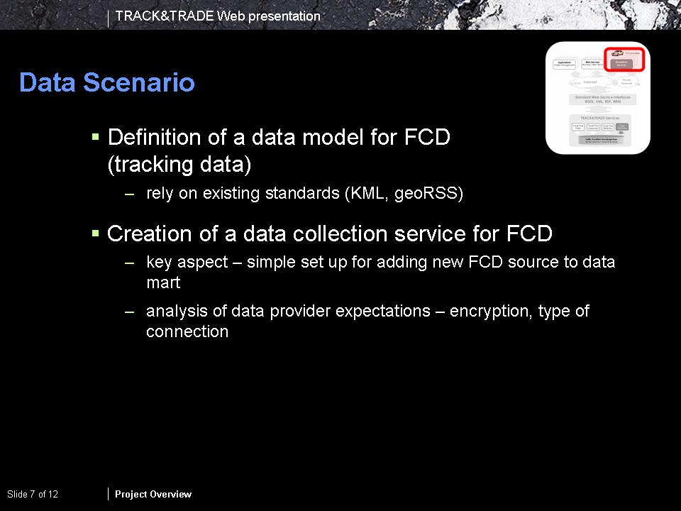 |
Collecting FCD → Raw FCD Early work in the project will address the issues of FCD collection by
|
 |
Raw FCD (tracking data) → Travel Times The first core technology needed in this project is map-matching, which relates FCD to the road network and allows us to derive network-related travel times from individual vehicle measurements. Since FCD is typically obtained using GPS positioning, the associated measurement error in connection with the sampling rate require us to apply specific algorithms to perform this task. We will evaluate several algorithms in this process to choose the a solution that fits the application needs, i.e.,
|
 |
Collected Travel Times → Characteristic Travel Times (dynamic weights) Travel times derived from FCD are recorded on a per-link basis, i.e., the overall travel time of a matched vehicle trajectory is allocated to a sequence of links in the road network and the travel times distributed accordingly. Given a large number of collected FCD, for each link a number of travel times will be collected, each with a different collection date. To derive characteristic travel times, i.e., dynamic weights, for the road network, the individual travel times have to be aggregated. Here data management means are necessary to derive such dynamic weights based on (i) current travel times (life data collection) and complemented by (ii) historic travel times (temporal causality, e.g., there is always a traffic jam in this area on Mondays). Essentially, the latter exploits trends in travel time behavior to provide dynamic weights for a road network that, e.g., can be used in the computation of routing solutions. |
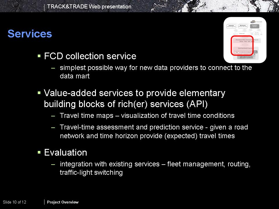 |
Characteristic Travel Times (dynamic weights) → Value-added Services (basic building blocks) All collected and generated data within the data mart will be provided by means of value-added Web services. Those include the provision of maps visually illustrating the traffic situation (travel time maps) and travel time computation for the road network as needed in routing algorithms. These value-added services will be provided by means of a Web interface but also as an API providing basic functionality as used in custom-built routing and navigation applications. |
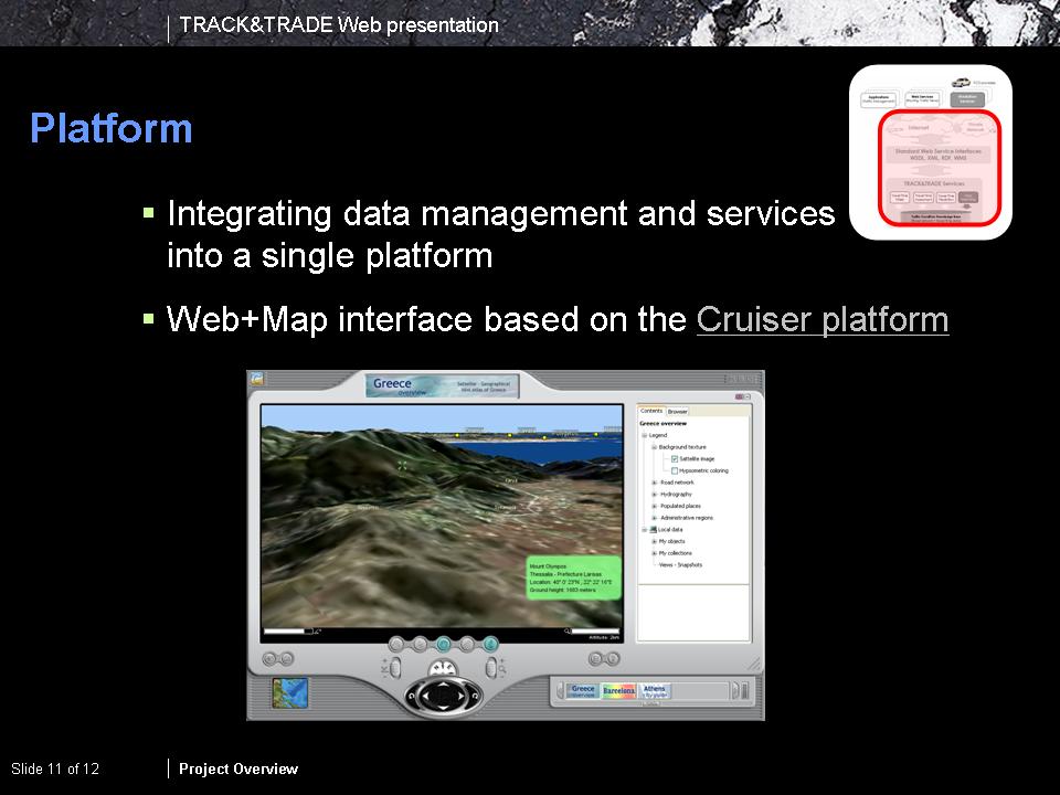 |
Information Access The data mart prototype will be based on the existing rich Web client/server solution Cruiser for providing geodata over the Web. The core characteristics of the platform will be a graphical user interface supporting map-based navigation and exploration of data. The client part of this solution will be used as a visualization platform and interface for service provision, e.g., Travel Time Maps. |
 |